Restoration Updates
Follow this page for the most recent updates about our project!
May 2023 Update 2
Removal efforts are underway! With limited time remaining in our semester, we are targeting plots that have promising populations of rare, desirable natives for restoration. In these plots we are removing undesirable species that would otherwise threaten these populations. The species we are removing include Muscadine Grape, Virginia Creeper, Greenbrier, Yaupon, and Carolina Laurel Cherry (all natives that have come to aggressively occupy much of the area), along with a few invasive that, at present, have relatively small populations.


May 2023 Update 1
Using the species inventory data we collected, we have calculated species richness, species evenness, and overall biodiversity (as measure by the Shannon-Diversity Index) for each plot as well as for the entire Deen’s Garden area. This data will allow us to better characterize our site and track our progress.
April 2023
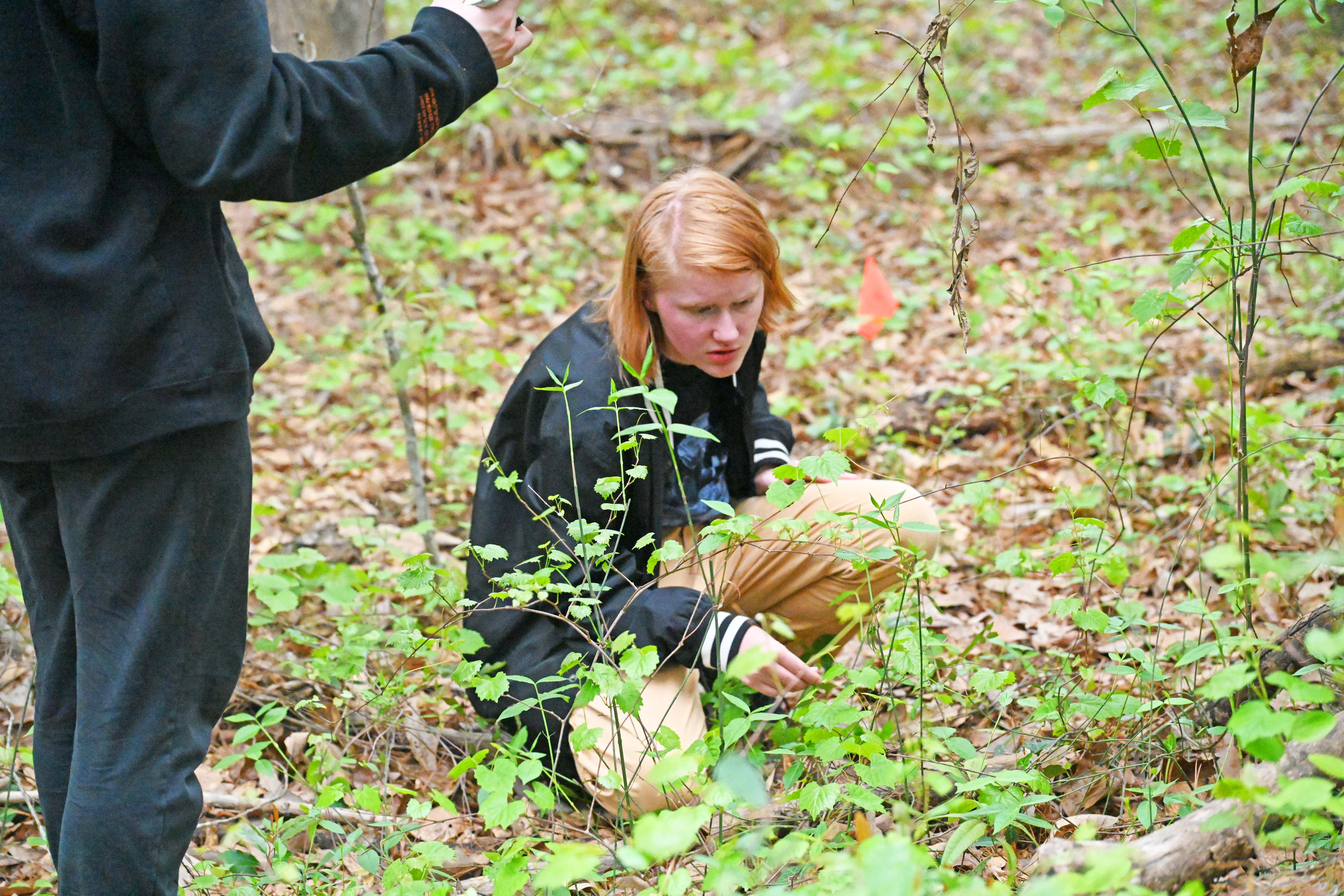
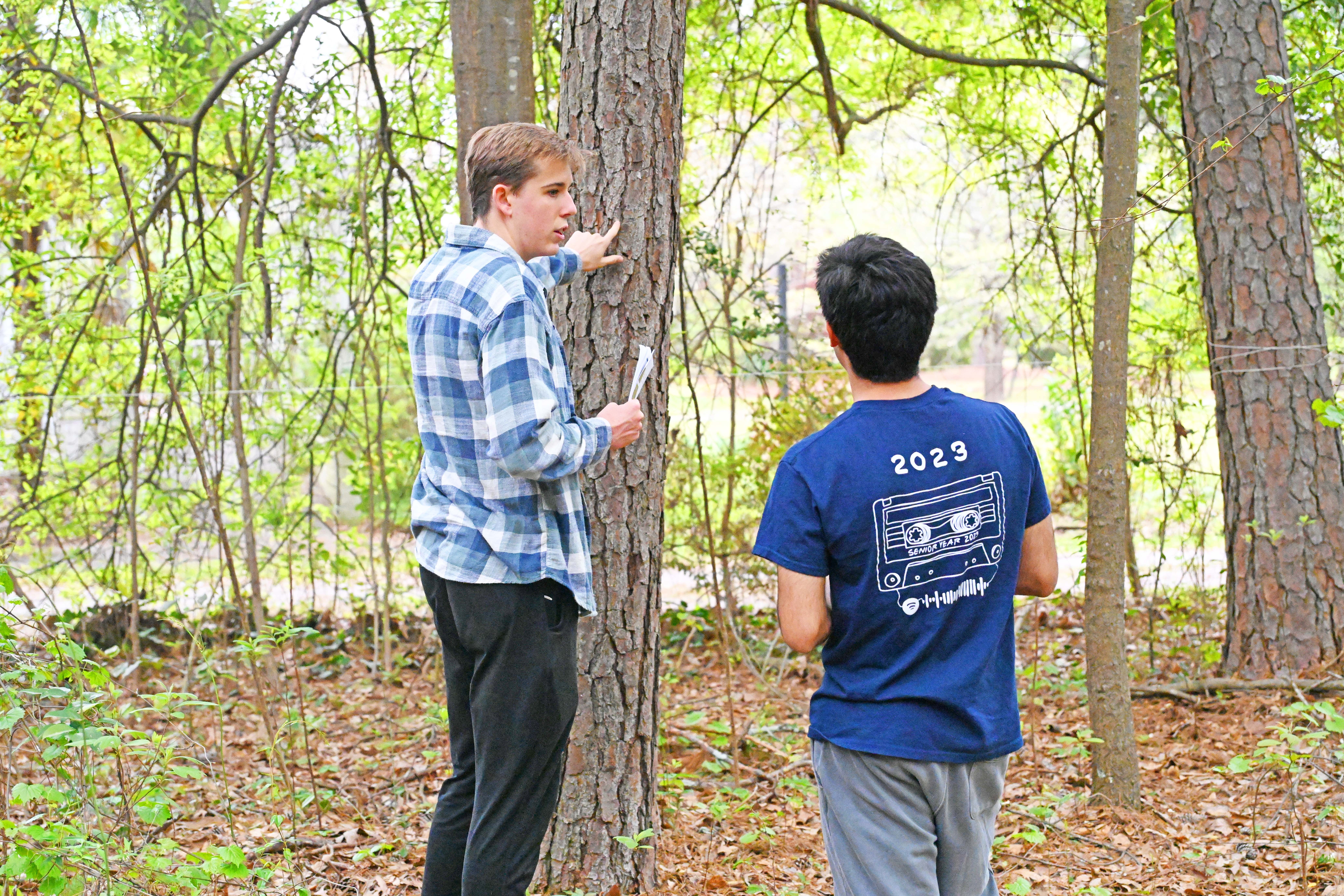
A complete species inventory has been completed for each plot within Deen’s Garden. This effort required identify and counting each species in each plot. The density of each species within each plot and within Deen’s Garden as a whole has been calculated to aid us in identifying problematic species that have come to dominate the area as well as to determine which plots contain promising populations of the desirable natives we seek to protect.

March 2023 Update 2
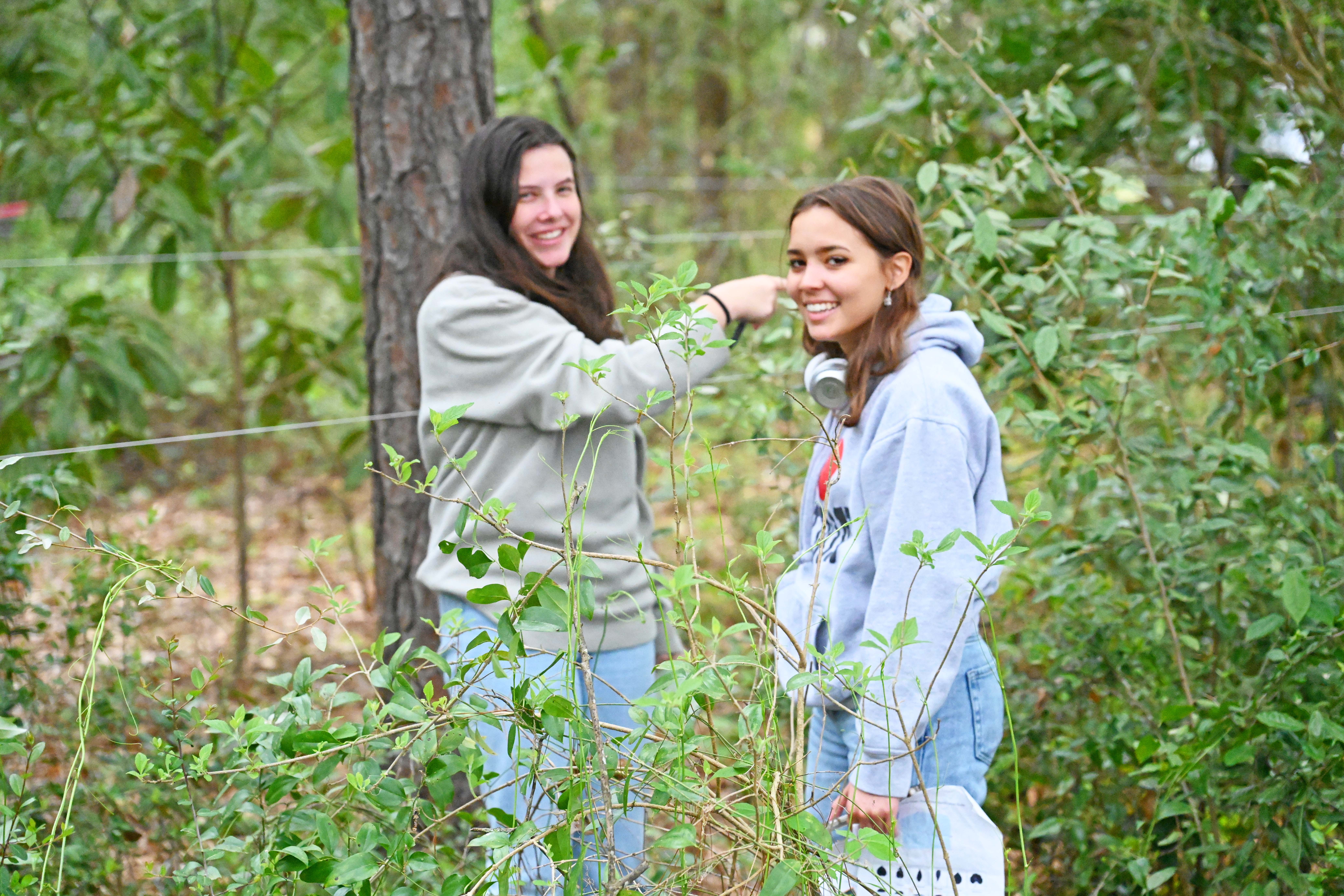
Deen’s Garden has successfully been segmented into smaller triangular plots so that we can more readily tally, monitor, and manage plant growth in the future. The plots have been labeled and measured to find the area of each. The sub-plots' boundaries were determined by natural obstacles, like large trees and shrubs that were used to rope off the sub-plots.
The various sub-plots are divided into three groups: A, B, and C. B-plots generally populate the northern region of our plot, A-plots the middle, and C-plots the edge or southern most region. We will collect information on what species, and how many of each species occupy these various sub-plots and will continue to monitor and update this data. This data is valuable in shaping our restoration goals and tracking our progress.
March 2023 Update 1
Our Math Team was able to calculate the area of our irregularly shaped site by using Geospatial Pin Analysis, or satellite GPS measurement modeling, establishing a blueprint for which baseline data may be easily collected for future use in our research.
